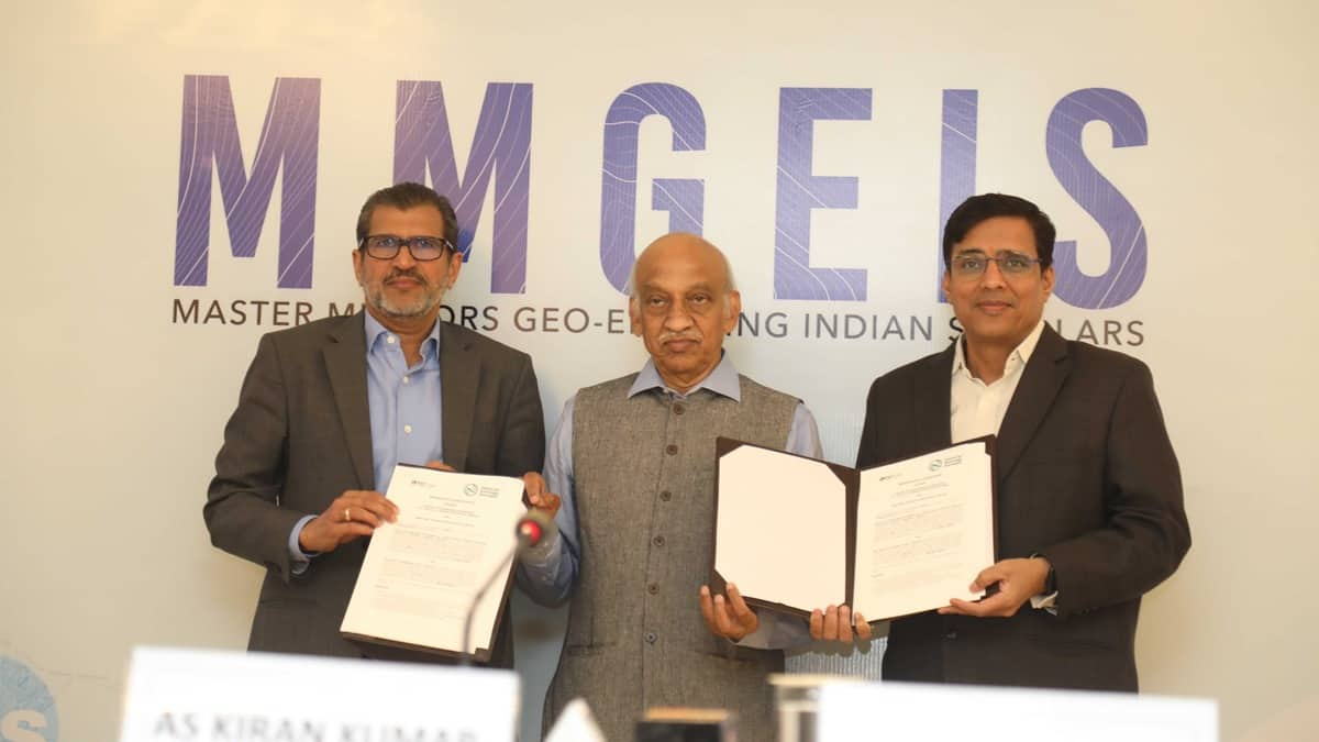
Unveiling the MMGEIS initiative: Catalyzing geospatial innovation for India’s next generation
The Centre for Knowledge Sovereignty (CKS) and Esri India Technologies Pvt Ltd have collaboratively initiated the ‘Master Mentors Geo-Enabling Indian Scholars’ (MMGEIS) program, aiming to position India as a global hub for geospatial technology skills and innovation. This strategic partnership also seeks to establish a robust intellectual property (IP) framework, encouraging more patents from India on the global geospatial stage. The formal agreement was signed by Vinit Goenka of CKS and Agendra Kumar, Managing Director of Esri India, in the presence of Kiran Kumar, former Chairman of ISRO.
The MMGEIS program, meticulously designed to reach up to 100,000 students annually, targets individuals from 8th grade to undergraduates. Its primary objective is to cultivate geospatial awareness in schools and colleges, laying the foundation for the next wave of geospatial research and innovation. Eminent figures like Kiran Kumar, Dr K J Ramesh, and Girish Kumar will guide promising students, offering them mentorship and support. The program will leverage a nationwide talent search process, providing students with vision talks, one-on-one mentoring sessions, and engaging interactive activities. The pilot project is set to launch in January 2024, with the full-scale program scheduled to roll out from June 2024, aligning with the National Education Policy’s emphasis on experiential learning and real-world applications.
Agendra Kumar, Managing Director of Esri India, expressed excitement about the collaboration, highlighting the pivotal role of GIS technologies in sectors such as Urban Planning, Agriculture, and Disaster Management. The MMGEIS program aligns with the shared vision of empowering students to think spatially, fostering innovation, and creating intellectual property in the geospatial arena, contributing to India’s goal of becoming a developed country by 2047.
AS Kiran Kumar, Member of the Space Commission and Former Chairman of ISRO, anticipates that the MMGEIS program will propel India towards becoming a leading innovator, resulting in a surge of patents filed by young Indians across diverse fields. These patents are expected to cover areas ranging from environmental solutions to technological advancements, enhancing India’s global standing.
The MMGEIS program is intricately designed to nurture spatial thinking in students, equipping them with the ability to analyze and interpret spatial data. This skill set aims to inspire innovative solutions and the creation of intellectual property, fostering geospatial innovation to elevate India’s position on the global innovation index, driving economic growth and societal progress. In essence, MMGEIS stands as a beacon, lighting the path for the next generation of Indian innovators in the geospatial domain.


